The
NENUPHAR Online GIS Platform is a web-based Geospatial Information System (GIS) developed within the NENUPHAR project to support the visualisation, exploration, and interpretation of spatial data related to nutrient pollution and nutrient recycling across the project’s regional clusters.
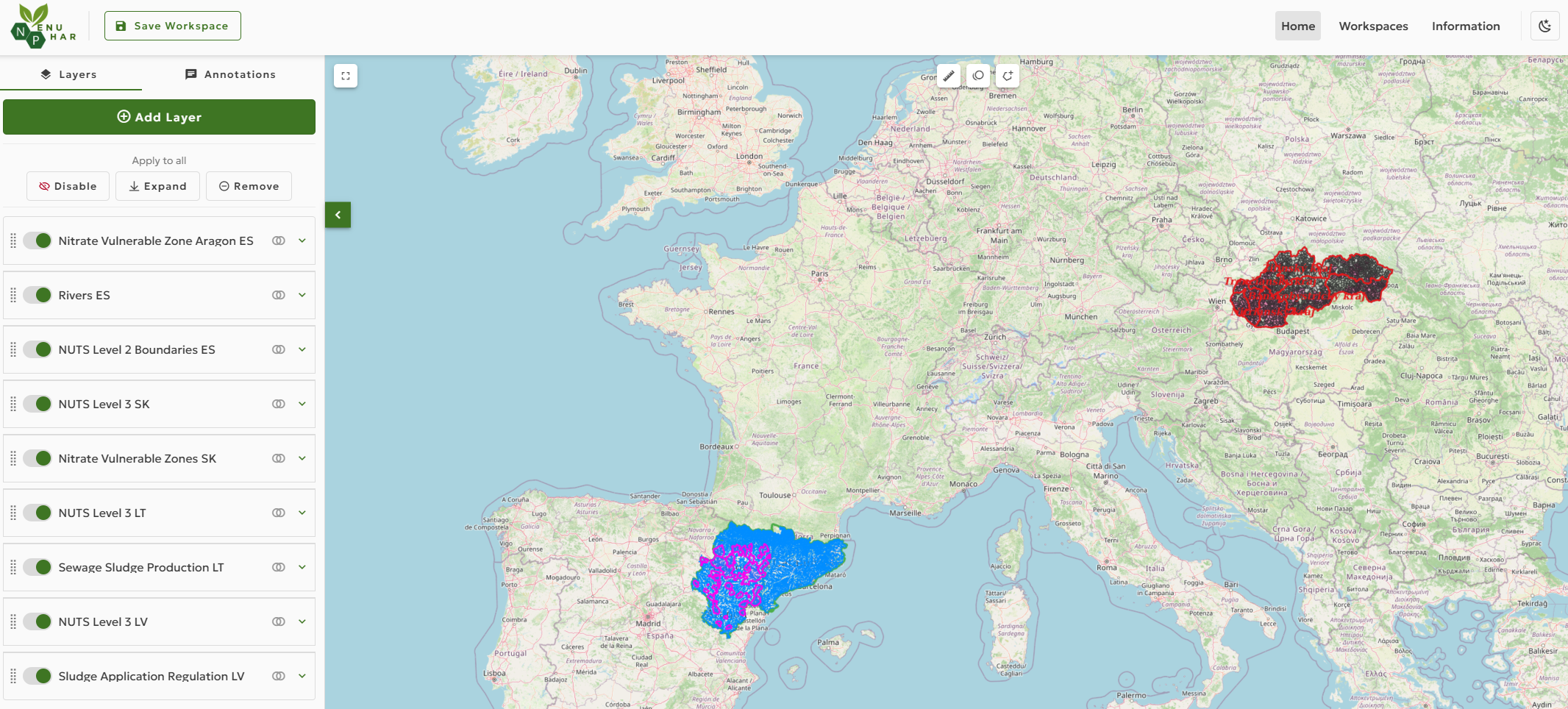
The platform serves as the main geospatial entry point for accessing and interacting with spatial outputs produced under WP3 – Analysis of novel value chain opportunities, with particular emphasis on datasets generated through waste mapping activities. These include spatial information on manure, sewage sludge, dairy wastewater streams, related treatment and processing facilities, nutrient-related infrastructure, and relevant administrative and territorial reference layers.
Through an interactive, map-centric interface, users can:
The platform is intended for public authorities, researchers, project partners, professionals, and other stakeholders, as well as members of the public interested in nutrient management, environmental planning, and spatial analysis.
This platform has been developed within the framework of a project co-funded by the European Union’s Horizon Europe Programme for Research and Innovation under Grant Agreement No. 101082169.
The content of the NENUPHAR Online GIS Platform reflects the views of the project partners only and does not necessarily represent the views of the European Union or the European Commission. Neither the European Union nor the granting authority can be held responsible for any use that may be made of the information contained on this platform.
The data presented are provided for informational and exploratory purposes. While reasonable efforts are made to ensure accuracy and consistency, no guarantee is given regarding the completeness, correctness, or timeliness of the information.